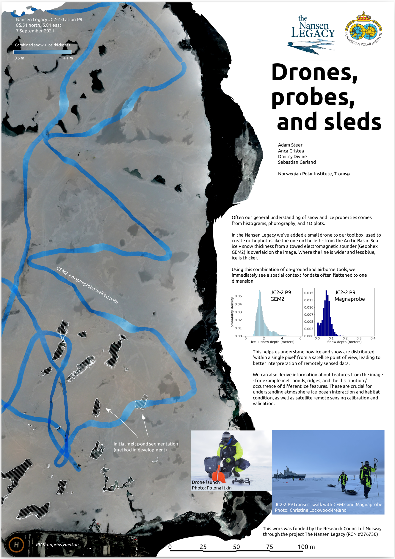
I’ve added small drones to the sea ice research toolkit at the Norwegian Polar Institute, using them to collect imagery for Structure from Motion reconstruction of work sites and local topography. I also developed techniques for mapping flights when the world we occupy is moving, and autonomous planned flights cannot be used. This work has so far been presented in a poster at the 2022 CIRFA conference on Sømmaroy, Norway – and a talk delivered at the European Space Agency Living Planet Symposium 2022 edition in Bonn, Germany.
High latitude drone surveys
